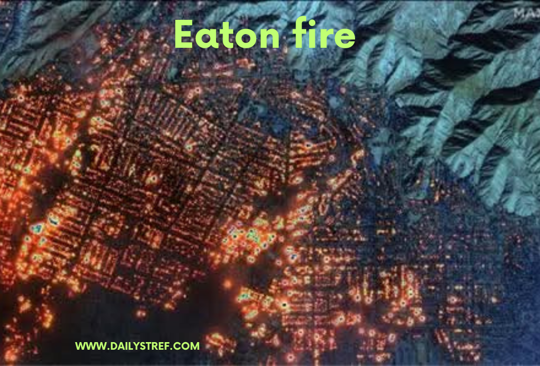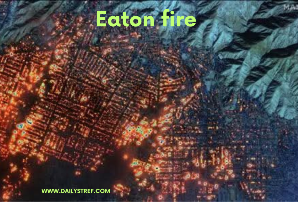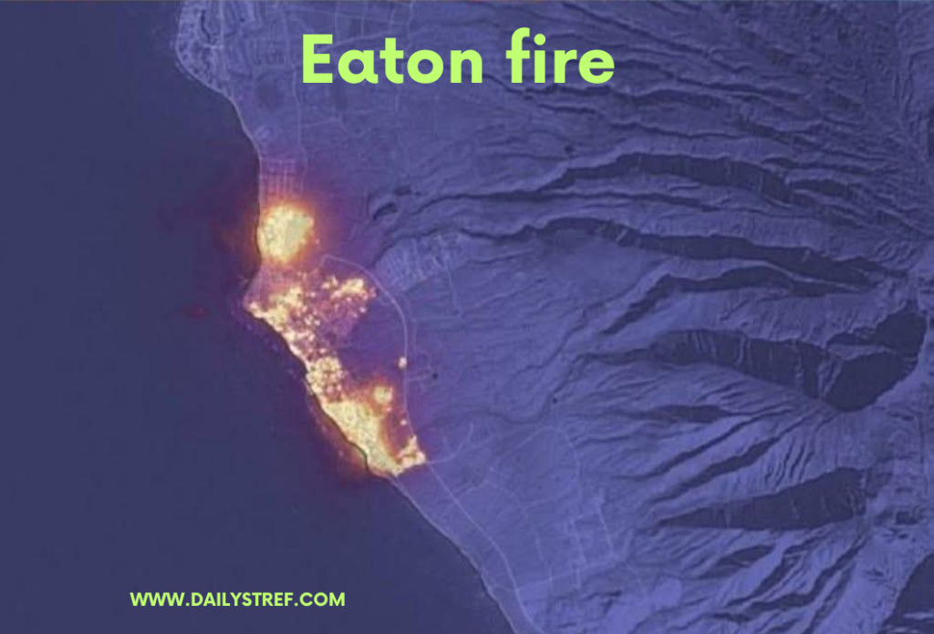
Image credit : A satellite image shows the Eaton wildfire has set nearly every building in western Altadena on fire.
This satellite image was taken by Maxar Technologies this morning (8 Jan) at 10:45 am. It’s a combination of near-infrared and optical images, it shows damn near every building in the western part of Altadena, California on fire from the Eaton Fire.
The fire left the foothills and wildland urban interface (WUI) and truly went into the city. Folks there probably never expected a wildfire to affect them.
Wildfires in Los Angeles rage out of control, becoming the most destructive fire in the city’s history. Tragically, 5 lives have been lost, 16,000 acres have burned, and over 130,000 people have been forced to evacuate. Firefighters are battling six fires at once as Southern California faces a dire water shortage. LA’s fire county chief has commented on the cause of the blaze. Stay safe and keep those affected in your thoughts.
Heartfelt support for those affected by devastating LA fires
Honoring brave firefighters and sending Love and Prayers to families facing loss and hardship.


